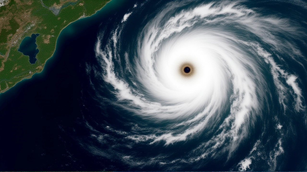
Here’s some potentially good news for anyone living along the U.S. East Coast: the 2026 Atlantic hurricane season might be quieter than we’ve grown accustomed to. Leading meteorologists are predicting a "somewhat below-normal" year, largely thanks to a powerful climate pattern called El Niño that is expected to churn up the atmosphere and chop off developing storms before they can become monsters.
The official season kicks off on June 1, 2026, but the forecasts are already out. While no one is promising a storm-free summer, the data suggests fewer Category 3, 4, or 5 hurricanes—the kind that cause catastrophic damage—than the long-term average. But don’t pack away your emergency kits just yet. The twist? Warm ocean waters in the Gulf of Mexico could still fuel intense activity, creating a complex puzzle for forecasters.
The Numbers Behind the Forecast
When it comes to seasonal predictions, Colorado State University (CSU) is often the gold standard. Their Tropical Meteorology Project, led by atmospheric scientists in Fort Collins, released their extended-range forecast in early 2026. Here’s what they’re calling for:
- Named Storms: 13 (compared to an average of 14.4)
- Hurricanes: 6 (average is 7.2)
- Major Hurricanes: 2 (average is 3.2)
That’s a noticeable dip. CSU also predicts that Accumulated Cyclone Energy (ACE)—a metric that combines intensity and duration—will hit only about 75 percent of its long-term average. In plain English? Less total energy from storms overall.
But not everyone agrees. The University of Arizona is forecasting a much busier season with 20 named storms and nine hurricanes. Meanwhile, North Carolina State University sits in the middle, expecting near-average activity with 12 to 15 named storms. This divergence highlights the inherent uncertainty in long-range weather modeling.
Why El Niño Matters
So, what’s driving the lower numbers at CSU? It all comes down to wind shear. Think of vertical wind shear like a gardener using a hose to knock over a house of cards. Strong winds high in the atmosphere blow apart the tops of developing storms, preventing them from organizing into tight, powerful cyclones.
El Niño, which occurs when sea surface temperatures in the equatorial Pacific Ocean warm significantly, tends to increase this shear across the tropical Atlantic and Caribbean. CSU researchers note that while La Niña conditions were weak as of March 2026, they expect a transition to a moderate-to-strong El Niño by the peak of hurricane season (August through October). This shift is the primary reason they anticipate fewer major hurricanes.
However, the story isn’t simple. Sea surface temperatures in the western tropical Atlantic remain warmer than normal. Warm water is the fuel for hurricanes. So, while El Niño tries to suppress storms via wind shear, the warm Atlantic waters are trying to ignite them. It’s a tug-of-war, and that’s why you see such different forecasts between universities.

Landfall Risks Remain Real
Even with a "below-average" forecast, the risk to coastal communities hasn’t disappeared. CSU’s report breaks down landfall probabilities, which are sobering reminders that one bad storm is enough to devastate a region.
For the entire continental U.S. coastline, the chance of at least one major hurricane landfall is estimated at 32 percent, down from the historical average of 43 percent. For the U.S. East Coast, including Florida, the probability drops to 15 percent (from 21 percent). The Gulf Coast sees a similar reduction, with a 20 percent chance compared to the usual 27 percent.
"Coastal residents are reminded that it only takes one hurricane making landfall to cause major impacts," the CSU report states. Experts interviewed by LiveNOW from FOX echoed this sentiment, urging people not to get complacent. "Always prepare for the worst," one expert advised, noting that even slightly less active seasons can produce deadly events.

What’s Next for the Season?
The first named storm of 2026 will be called Arthur. Historically, the first named storm forms around June 20, and the first hurricane usually appears by mid-August. As we move closer to June 1, forecasters will update their models based on real-time ocean temperatures and atmospheric pressure readings.
If El Niño develops as strongly as predicted, the suppression effect should hold. But if the Pacific cools faster than expected, or if Atlantic warming accelerates, those numbers could swing upward quickly. Private meteorologists have already flagged this volatility, suggesting the season could end up anywhere from slightly below average to slightly above average depending on how these two forces balance out.
Frequently Asked Questions
What does "below-normal" mean for the 2026 hurricane season?
A "below-normal" forecast means that the number of named storms, hurricanes, and major hurricanes is expected to be lower than the 1991–2020 climatological average. For 2026, Colorado State University predicts 13 named storms versus an average of 14.4, indicating a modestly quieter season rather than a completely inactive one.
How does El Niño affect hurricane formation?
El Niño increases vertical wind shear over the Atlantic basin. Wind shear disrupts the structure of developing storms by blowing their tops off, which prevents them from intensifying into major hurricanes. This is why El Niño years typically see fewer Category 3+ storms compared to La Niña years.
Which areas are most at risk despite the lower forecast?
While probabilities are reduced across the board, Florida remains at higher relative risk due to its geography. The U.S. East Coast has a 15% chance of a major landfall, and the Gulf Coast has a 20% chance. Even with lower odds, any single landfall can cause severe damage, so preparedness is critical for all coastal zones.
Why do university forecasts differ so much?
Different institutions weigh climate indicators differently. For example, the University of Arizona may place more emphasis on warm Atlantic sea surface temperatures, leading to higher storm counts, while Colorado State University prioritizes the suppressing effect of El Niño-induced wind shear. These differing methodologies result in varied outlooks.
When is the official start of the 2026 season?
The Atlantic hurricane season officially runs from June 1 to November 30, 2026. However, storm activity typically peaks between mid-August and late October. The first named storm of the season is designated as Arthur, following the World Meteorological Organization's naming list.